india-historical-map-1760-from-The-Public-Schools-Historical-Atlas
India Maps
 India flag
 India physical
 Blank colored India map
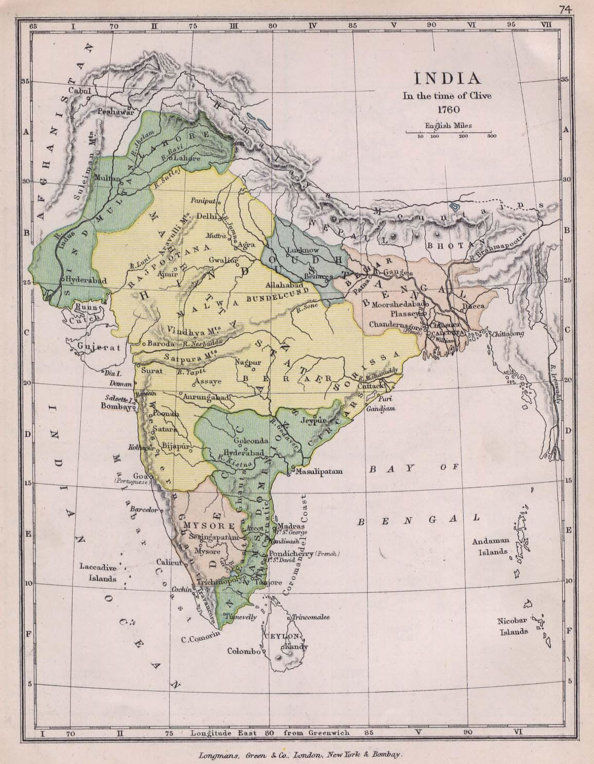
 India historical map 1760 from The Public Schools Historical Atlas
 India historical map 1882, Commerce and Commercial Navigation
 Historical map of India 1809
 India railway schematic map
 State and union territories India map
 South India regions map
 India numbered stats
 India locator map blank
 Crop areas map of india 1973
 India location world map
 India national roads map
 Rivers and lakes India map
 india wfb map
 Small map of india
 Airports and seaports map
 India districts map
 Political map of India 1996
 Bombay South 1954 Topographic Map
 Indien bundesstaaten und unionsterritorien map
 India topographic blank map
 India physical map
 Delhi Location
 India calcutta map
 India
India India rajasthan locator map
 Topographic India map
 India relief map
 Shared relief map of India 1979
 Railway network map
 India china border western sector 1980
 India map bbsr direct train full
 Political map of India 2001
