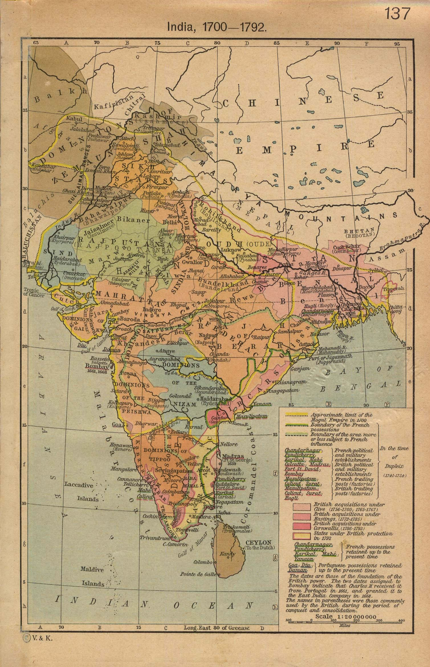
india-historical-map-1700-1792-from-The-Historical-Atlas
India Maps
 Historical maps India in 1804
 India citys map
 Indian railways map
 India map bbsr direct train full
 Religions map of India 1987
 Crop areas map of india 1973
 India historical map 1760 from The Public Schools Historical Atlas
 Historical map of India in 1760
 India flag
 Rivers and lakes India map
 Delhi and Vicinity histrotical map 1962 City Plan
 Shared relief map of India 1979
 Topographic India map
 Population density India map
 India Transportation map
 Bombay India historical map 1954 City Plan
 Map India
 Railway network map
 Bombay North 1954 Topographic Map
 India location world map
 India historical map 1882, Commerce and Commercial Navigation
 India small map
 Where India located
 Calcutta map 1945 City Plan
 India city scale map
 india wfb map
 Rivers and lakes topographic map
 India climatic zone map
 India map
 India South asia Map
 Airports and seaports map
 South asia local India map
 Rivers map of India
 Rivers India map
 India stats map