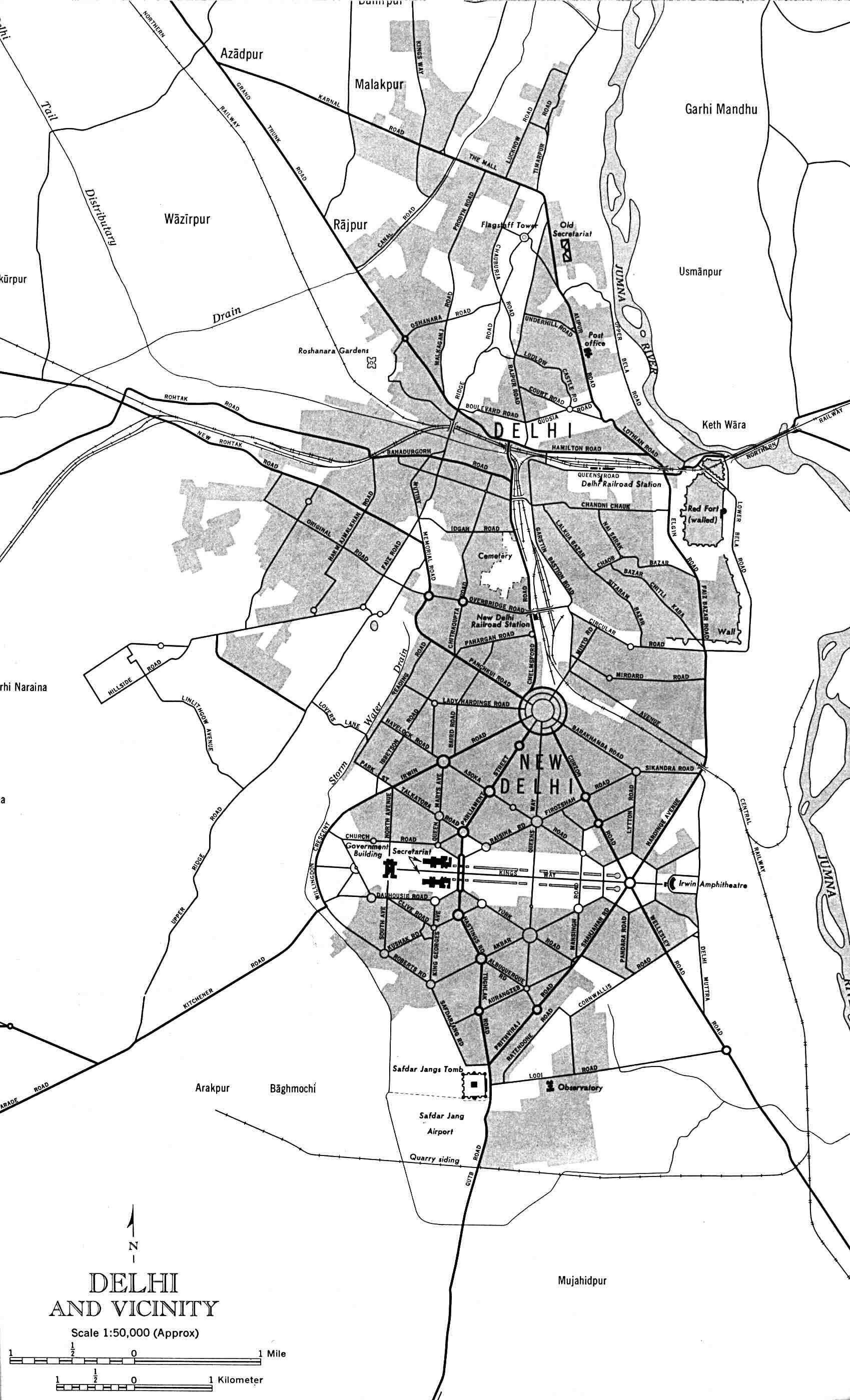
Delhi-and-Vicinity-histrotical-map-1962-City-Plan
India Maps
 India flag map
 India districts map
 India historical map
 India numbered stats
 The india map
 Rivers map of India
 India relief map
 China India border eastern sector 1988
 Delhi and Agra Operational Navigation Chart
 Historical map India 1808
 Physical features of India map
 India flag
 Bombay India historical map 1954 City Plan
 States and union territories of India
 India pakistan physical map
 Delhi Location
 Bombay North 1954 Topographic Map
 Historical maps India in 1804
 India disputed areas map
 India map 1760
 Airports and seaports map
 Indian railways map
 India energy map 1997
 Wikipedia oldmysore India map
 India historical map 1700 1792 from The Historical Atlas
 Railway network schematic map
 Historical map India
 India topographic blank map
 China India border western sector 1988
 india wfb map
 South India regions map
 Historical map of India 1809
 India topogaphy
 Cultural regional areas of india map
 South asia India satellite map