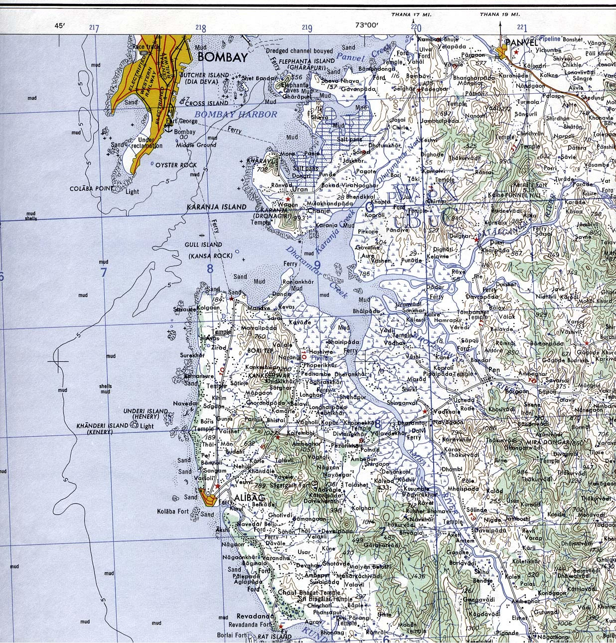
Bombay-South-1954-Topographic-Map
India Maps
 india wfb map
 India topographic blank map
 Karte indien bundesstaaten unionsterritorien
 Delhi Location
 India topogaphy
 South India regions map
 Railway network schematic map
 India states by rto codes map
 Airports and seaports map
 Map extreme points of India
 Bombay India historical map 1909
 States and union territories of India
 India china border western sector 1980
 West India map
 India geology zones
 India physical
 India airports and seaports map
 Shared relief map of India 1979
 Delhi and Agra Operational Navigation Chart
 India regions citys map
 Distribution of christians in Indian states map
 India historical map 1760 from The Public Schools Historical Atlas
 Religions map of India 1987
 India disputed areas map
 Alphabetisierungsrate indien karte
 Calcutta map 1945 City Plan
 India languages map
 India energy map 1997
 India citys map
 India districts map
 India comptoirs map
 Population density India map
 India Transportation map
 Map of India airport city states
 India small map
