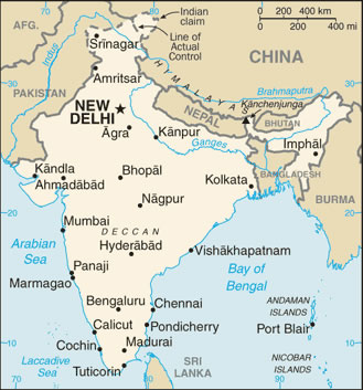
india-wfb-map
India Maps
 Physical features of India map
 India states numbered map
 Bombay India historical map 1909
 Political map of India 2001
 Topographic India map
 Historical map India
 India natural hazards map
 Indien bundesstaaten und unionsterritorien map
 India disputed areas map
 Population map of India 1973
 Historical map of India in 1760
 India numbered stats
 Where India located
 India geological regions map
 India physical
 Crop areas map of india 1973
 Wikipedia oldmysore India map
 Bombay India historical map 1954 City Plan
 India airports and seaports map
 Political map of India 1996
 Religions map of India 1987
 India topogaphy
 Bombay North 1954 Topographic Map
 Map extreme points of India
 India national roads map
 India South asia Map
 India map bbsr direct train full
 India historical map 1700 1792 from The Historical Atlas
 The india map
 India languages map
 Relief map of India 1996
 India ter map
 Shared relief map of India 1979
 India rajasthan locator map
 Historic maps british India