historical-map-of-india-in-1760
India Maps
 Bhuj Anjar Area Gujarat Topographic Map 1955
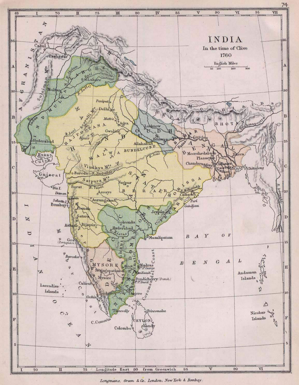
 India historical map 1760 from The Public Schools Historical Atlas
 Distribution of christians in Indian states map
 India physical map
 Damao Daman 1954 Topographic India Map
 Bombay Map Tactical Pilotage Chart
 Political map of India 1996
 India
India India national roads map
 India languages map
 West India map
 State and union territories India map
 Bombay India historical map 1909
 India tourist map
 India citys map
 Rivers India map
 Relief of India
 Bombay South 1954 Topographic Map
 Languages and religions map of India 1973
 Shared relief map of India 1979
 India map 1760
 India flag
 India natural hazards map
 China India border eastern sector 1988
 India ter map
 Map extreme points of India
 Relief map of India 1996
 The india map
 Rivers and lakes India map
 India small map
 India topographic blank map
 Delhi and Agra Operational Navigation Chart
 Physical features of India map
 Rivers and lakes topographic map
 Map India