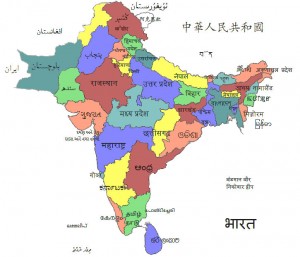
south-asia-local-india-map
India Maps
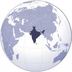 Where India located
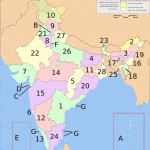 India states numbered map
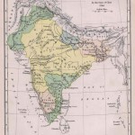 Historical map of India in 1760
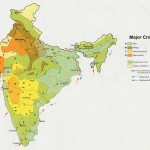 Crop areas map of india 1973
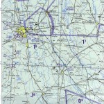 Delhi and Agra Operational Navigation Chart
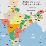 India states by rto codes map
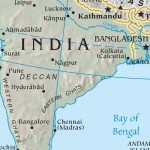 India calcutta map
 Wikipedia oldmysore India map
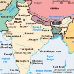 India citys map
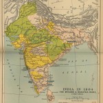 Historical maps India in 1804
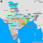 India languages map
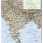 Map of relief India
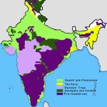 India geology map
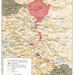 China India border western sector 1988
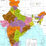 India regions citys map
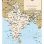 Political map of India 1996
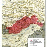 China India border eastern sector 1988
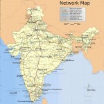 India national roads map
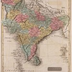 Historical map of India 1809
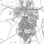 Delhi and Vicinity histrotical map 1962 City Plan
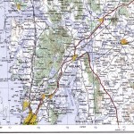 Bombay North 1954 Topographic Map
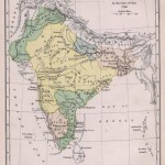 India historical map 1760 from The Public Schools Historical Atlas
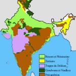 India geological regions map
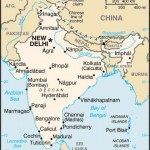 Map India
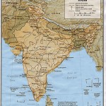 India
India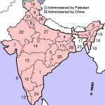 India numbered stats
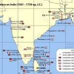 India comptoirs map
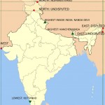 Map extreme points of India
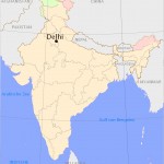 Delhi Location
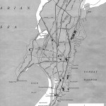 Bombay India historical map 1954 City Plan
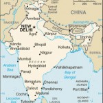 india wfb map
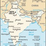 India small map
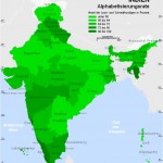 Alphabetisierungsrate indien karte
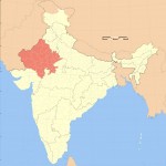 India rajasthan locator map
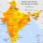 State and union territories India map

