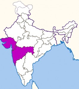
west-india-map
India Maps
 Religions map of India 1987
 India physical
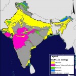 India geology zones
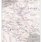 India china border western sector 1980
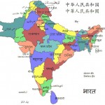 South asia local langage map
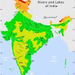 Rivers and lakes topographic map
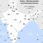 Karte indien bundesstaaten unionsterritorien
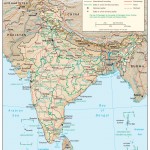 India relief map
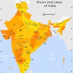 Rivers and lakes India map
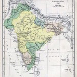 India map 1760
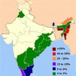 Distribution of christians in Indian states map
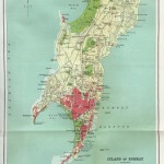 Bombay India historical map 1909
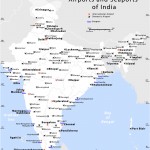 India airports and seaports map
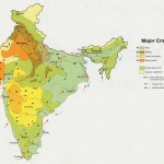 Crop areas map of india 1973
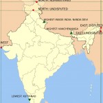 Map extreme points of India
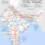 India railway schematic map
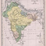 Historical map of India in 1760
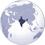 Where India located
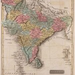 Historical map of India 1809
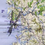 Bombay Map Tactical Pilotage Chart
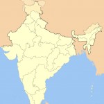 India locator map blank
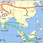 Language travel from India map
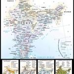 Map of india
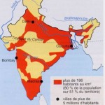 Large city population density India map
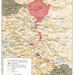 China India border western sector 1988
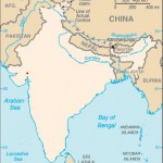 Blank colored India map
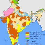 India natural hazards map
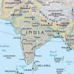 India South asia Map
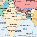 India citys map
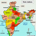 India stats map
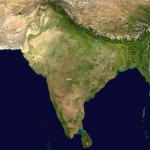 South asia India satellite map
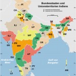 Indien bundesstaaten und unionsterritorien map
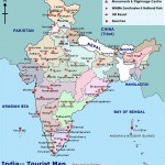 India tourist map
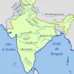 Rivers map of India
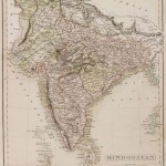 Historical map India 1808

